Transit-Oriented Discoveries
Data-Driven Insights into U.S. Urban Landscapes
Transit-Oriented Discoveries provides data and analytical tools for people working to create better places to live and work near transit stations.
Identify Development Opportunities
Conduct Research and Analyze Data
Support Sustainable Communities
Explore, Collaborate, Change
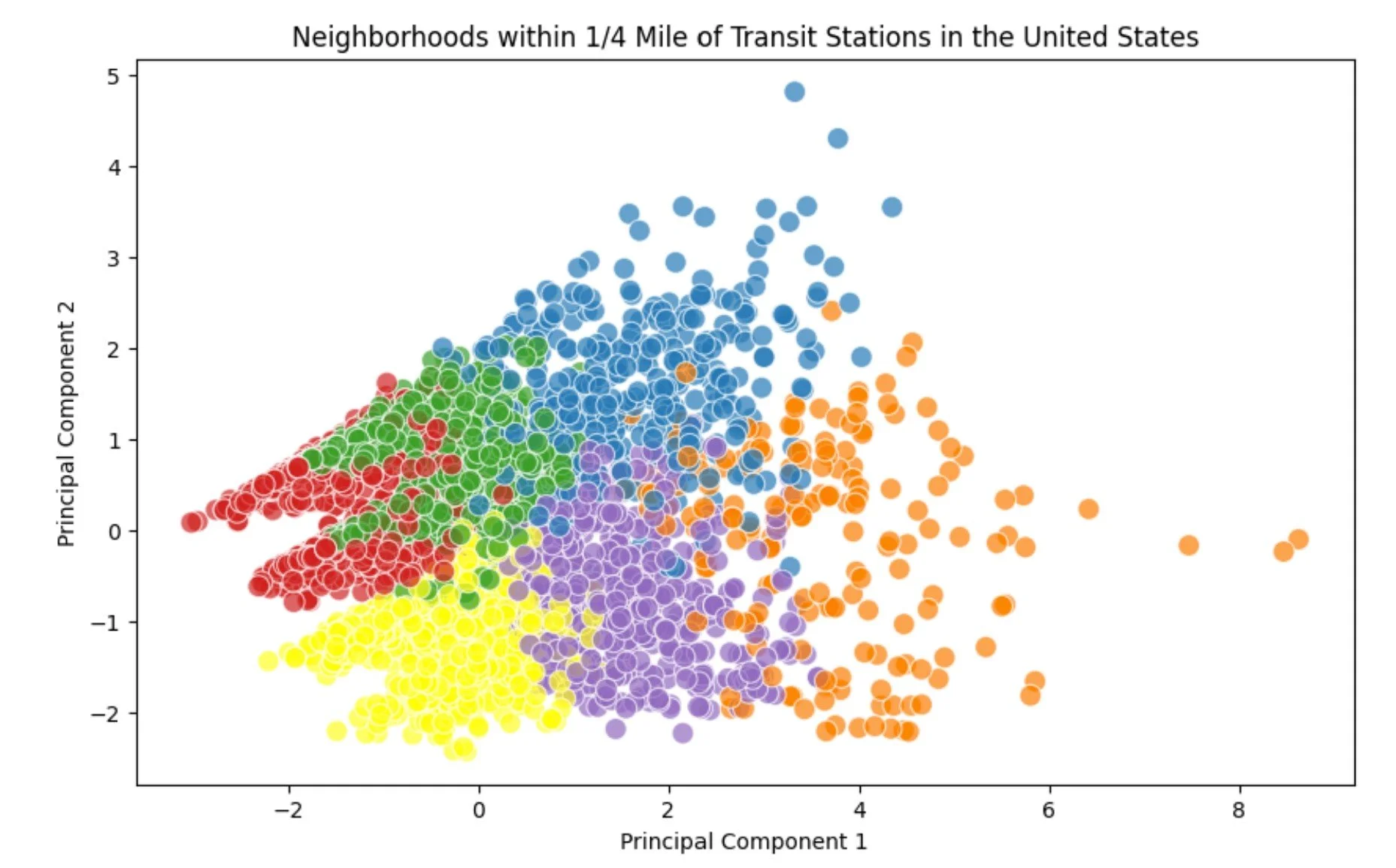
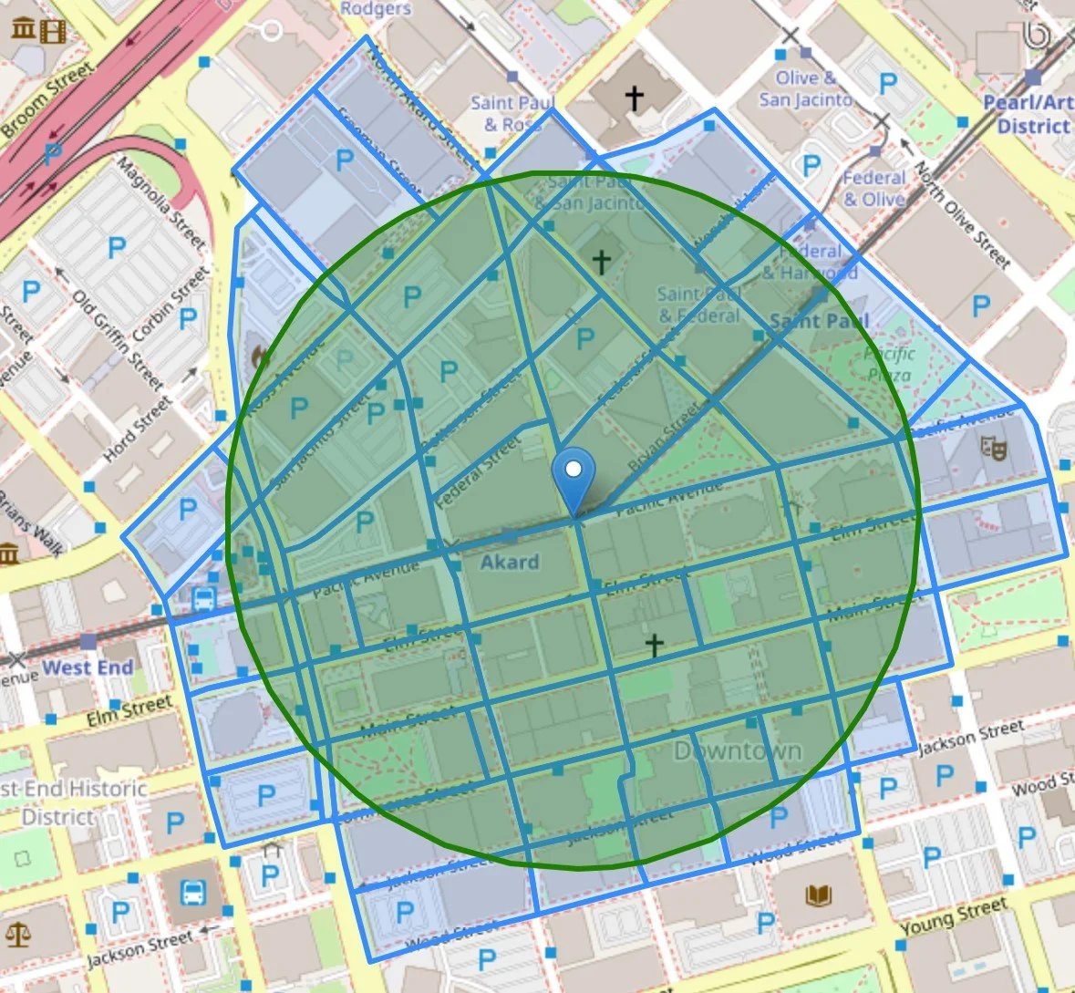
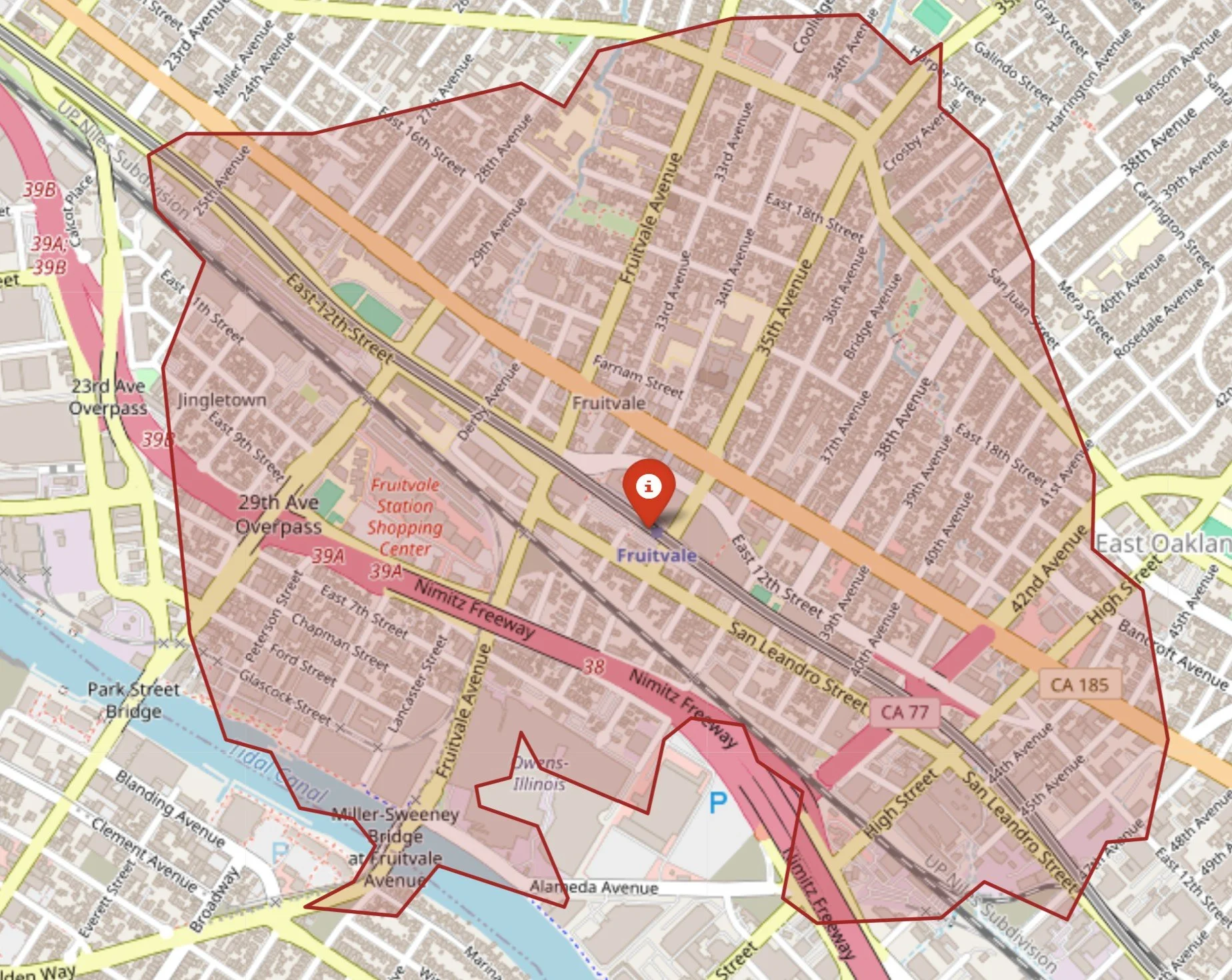
Transit-Oriented Discoveries offers data, visualizations, and analysis of land use, transportation features, and points of interest around 4,900 rail, bus rapid transit, and ferry stations in the United States. It addresses a significant gap in national-level analysis, offering fresh insights since the last comprehensive platform from 2014. The site provides useful information for developers, real estate investors, public transit agencies, state and local governments, urban planners, researchers, and others interested in fostering dense, walkable, mixed-use communities around transit stations, enabling smart investment and planning decisions.
Coming Soon: Analytical Tools
Machine Learning Geospatial Analysis Walksheds OpenStreetMap Data
Interested in receiving updates or working together? Fill out some info and we will be in touch shortly. We can’t wait to hear from you!
