Data-Driven Insights into U.S.Urban Landscapes: Register for Full Platform Access


Insights for Every Audience:
Urban planners: Improve station area planning with comprehensive metrics on building density, height patterns, and urban form.
Teachers and students: Download high-quality data for classroom instruction, case studies, and independent research.
Developers and Investors: Access real estate market intelligence, areas with untapped potential, and emerging investment opportunities.
Local government: Benchmark your jurisdiction’s TOD against similar areas. Develop evidence-based land use policies.
Transit agencies: Evaluate how the urban context around your stations compares to peer systems. Identify opportunities to collaborate with local jurisdictions on land use policies that support ridership goals.
Advocates: Use data and visuals to make the case for more housing and smart growth in your community.
Easy Access, Extensive Analytics:
Station Profiles: Detailed information on each station's characteristics and surroundings.
Transit Network Visualizations: A national transit station map displaying transit station areas across entire systems.
3D Renderings: Interactive maps showing building heights and urban form.
Development Analysis: Building density, typology, and distribution patterns.
Parking to Housing Conversion Surface lot and garage data with housing potential metrics.
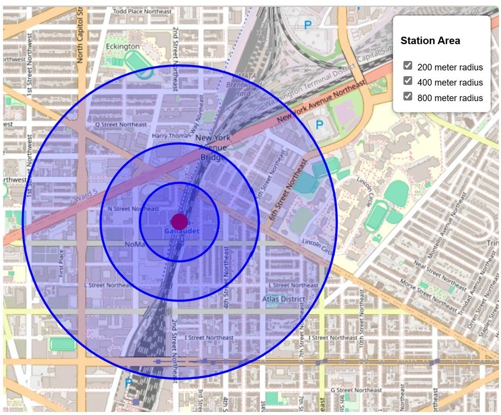
Customizable Radius Analysis: Examine station areas at 200m, 400m, and 800m scales.
Underlying data: Access to extensive data for independent research and analysis.
Tech support and no automatic renewal: Get answers to your questions about the data and renew only if you want to, not by default.
Sign up today to access current content and future data releases for the remainder of 2025. Future releases may include additional land use data, transportation network metrics, points of interest, and demographics around stations.